
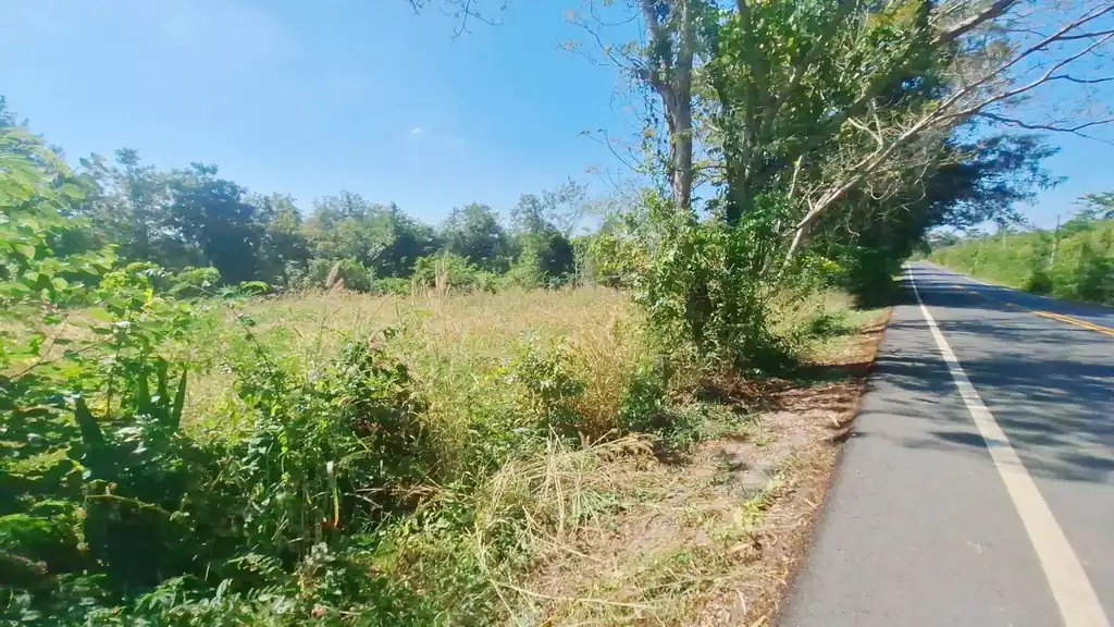
1 rai of freehold land for sale near Kut Chap, Udon Thani
- 1 rai or 1,600 sq m
Overview
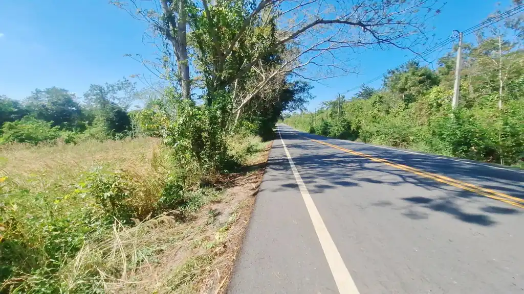
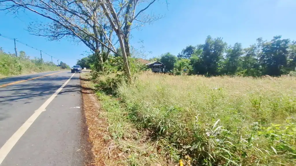
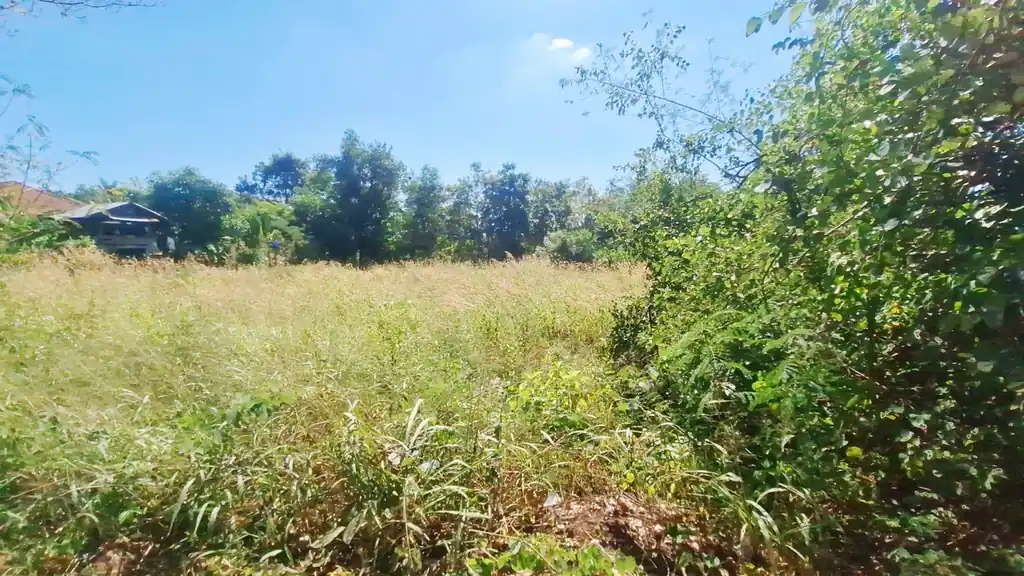
Freehold 1 Rai (1,600 Sq. Mt.) Land For Sale Near Kut Chap, Udon Thani, Thailand.
This 1-rai plot, located at GPS coordinates 17.42932006, 102.47712784, offers a valuable opportunity to build a custom home in a peaceful rural setting with strong long‑term potential on the Kut Chap–Udon Thani corridor. The land is in a village setting that balances everyday convenience with calm countryside surroundings, making it attractive to buyers seeking space, privacy, and access to nearby amenities.
Location and Access
Positioned within easy reach of the Udon Thani–Kut Chap route, this plot provides convenient road access to both provincial centres and key services. Udon Thani is a rapidly developing regional city with shopping centres, hospitals, schools, and government offices, all within a comfortable driving distance for daily or weekly needs.
Kut Chap district is known for its natural scenery, relaxed lifestyle, and growing infrastructure, offering an appealing alternative to dense urban living while remaining well-connected. fresh air, and scenic views, further enhancing the location’s lifestyle appeal.
Features and Benefits
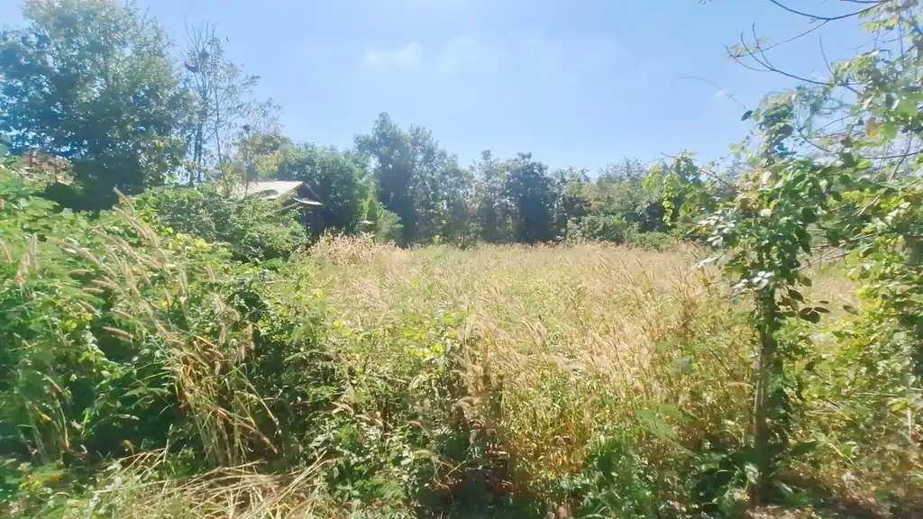
Approximately one rai, suitable for a private residence of your design with a garden and parking
Quiet village atmosphere with local Thai community character
Good road access linking to Udon Thani and Kut Chap via major routes
Short drive to fresh markets, local shops, cafés, and an array of services in the Kut Chap district centre
Attractive setting for a retirement home, family house, or weekend retreat
Scope to design ground levels, drainage, and landscaping to suit a new build project
Area with ongoing infrastructure and lifestyle improvements, supporting long‑term value growth
Development Potential
We acknowledge that the land will require landfill. Yet, the plot is ideal for buyers who wish to design and build a new home tailored to their preferences, with ample scope for outdoor terraces, gardens, and covered parking. Its village location and proximity to major transport routes make it suitable for both full‑time living and part‑time or holiday use. The surrounding Kut Chap–Udon Thani area is seeing steady real estate interest as buyers seek more space, cleaner air, and a quieter environment without sacrificing access to city services.
Price and Terms
The land is offered for sale at 750,000 THB for the full one rai, negotiable, representing substantial value for a future homesite in this increasingly popular region.
This is an excellent opportunity for buyers and investors seeking a well‑located rural plot with practical access and lifestyle appeal near Udon Thani.
The location on Google Maps is: 17.42932006, 102.47712784 (copy and paste). Drive by, take a good look, and assess the potential. For further information, please get in touch with +66994446561 (English and Thai) or via connect@isanrealestate.com
| Reference | 177 |
|---|---|
| Old website code | L46761 |
| Type | Land |
| Status | for sale |
| Province | Udon Thani |
| City / district | Kut Chap |
| Land | 1 rai or 1,600 sq m |
| Price | THB 750,000 Negotiable |
Key features
- 1 rai freehold
- Nor Sor 4 Chanote
- Sealed main road frontage
- Utilities at the front
- About 30 minutes to Udon Thani
What's nearby
Distances from the listing's map pin to the closest places on OpenStreetMap.
- HospitalKhut Chap Hospitalโรงพยาบาลกุดจับ~12 km by roadประมาณ 12 กม. (ทางถนน)
- Convenience store7-Elevenเซเว่น อีเลฟเว่น~9.6 km by roadประมาณ 9.6 กม. (ทางถนน)
- AirportUdon Thani International Airport (UTH)ท่าอากาศยานนานาชาติอุดรธานี (UTH)~36 km by roadประมาณ 36 กม. (ทางถนน)
- Elementary schoolBan Sang Ko Schoolโรงเรียนบ้านสร้างก่อ~13 km by roadประมาณ 13 กม. (ทางถนน)
- High schoolUdonpichairakpittaya Schoolโรงเรียน อุดรพิชัยรักษ์พิทยา~34 km by roadประมาณ 34 กม. (ทางถนน)
- UniversityThailand National Sports University Udon Thani Campusมหาวิทยาลัยการกีฬาแห่งชาติ วิทยาเขตอุดรธานี~32 km by roadประมาณ 32 กม. (ทางถนน)
- Clinic or health centerSubdistrict Health Promoting Hospitalโรงพยาบาลส่งเสริมสุขภาพตำบล~18 km by roadประมาณ 18 กม. (ทางถนน)
- Main highwayHighway 2ทางหลวงหมายเลข 2~36 km by roadประมาณ 36 กม. (ทางถนน)
- GrabFood Likely, confirm locally
- LINE MAN Likely, confirm locally
Delivery coverage is an estimate; confirm with your agent.
Distances are estimates: road distance by the public OSRM route service where available, otherwise straight-line, and OpenStreetMap can miss newer places. Map data © OpenStreetMap contributors · OSM data as of 6 Oct 2026ข้อมูล OSM ณ 6 ต.ค. 2569